 Difficulty: Easy
- Vidzeme
- Duration: 1 h
- Ascent: 78 m
- Circular

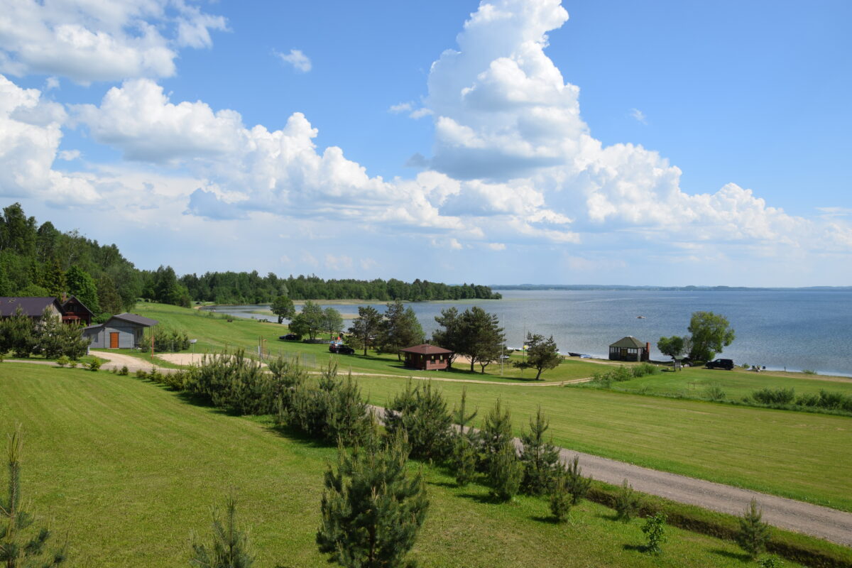
“Lake Path” is a long-distance hiking route in Latgale. The road surfaces along the route are distributed as follows: 59% gravel roads, 21% country, forest and meadow tracks, and 20% asphalt roads. The route is divided into 49 sections, 13 of which are longer and take several days to complete. Geographically, the sections are divided by location: Northern Latgale (9 sections), Central Latgale (25 sections) and Southern Latgale/Sēlija (15 sections).
What makes the “Lake Path” special?
The schematic drawing of the route is shaped like a figure eight, or infinity sign, with the crossing point around Lake Rāzna. In total, 134 lakes and other bodies of water can be found along the Lake Path route. The route includes some of the deepest lakes in Latvia – the Geraņimova-Ildza (46m), Great Gusen (38m) and Ormija (43m) lakes in the Krāslava area, and Lake Riči (39.7m on the Latvian side) and Lake Svente (38m) in Augšdaugava Municipality. The largest lakes in Latvia – Rāzna (by water volume) and Lubāns (by area) – are also part of the “Lake Path”.
The route passes along the lake richest in islands in Latvia – Hedgehog Lake. In the southern part of Latgale, where the route runs almost along the border with Belarus and Lithuania, three border lakes can be seen: Riči, Sita (Latvia/Belarus border) and Great Kumpotis (Latvia/Lithuania border).
When hiking several sections along the Latvia–Belarus or Russia border, a border zone permit must be obtained in advance; it can be applied for electronically via the Latvija.lv portal. In summer, walkers will be able to cool off in some of the clearest lakes in Latvia – Lake Svente (transparency 7.5m) and Lake Medumi (5.2m) in Augšdaugava Municipality.
If you do not know what a GPX file is, you can read about it here, how to open a GPX file.
Ticks are saved in this browser only.
routes.lv/en/route/lake-path/
Printed from Routes LV
1109.5 km · 54 d · Moderate · Hiking · Latgale
Loading map…
Drag along the profile — the location appears on the map.
A review and photo can be added in the Routes LV app after completing the route.
Translated from Latvian ·
Difficulty: Easy
 Difficulty: Moderate
 Difficulty: Moderate