 Difficulty: Moderate
- Vidzeme
- Duration: 2 h
- Circular

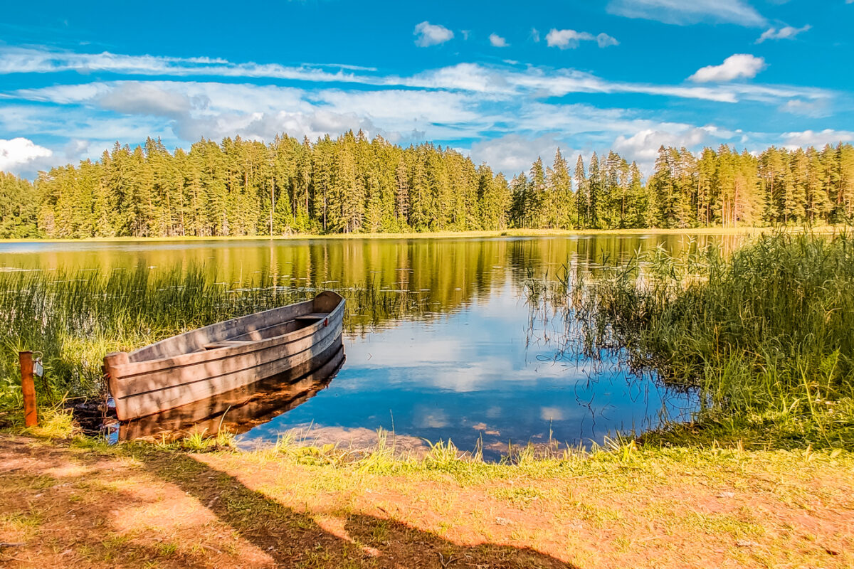
This route is made for those who enjoy active walking and a little border crossing. The paths wind through the scenic Peļļi Ravine hollow, carved out by glacial meltwater. Four lakes play diplomat here, naturally drawing the border line between Latvia and Estonia and for a moment taking us to the mysterious Paganamaa, or Land of Devils.
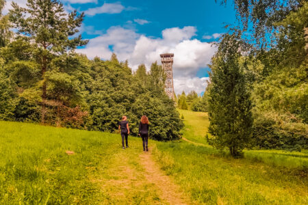
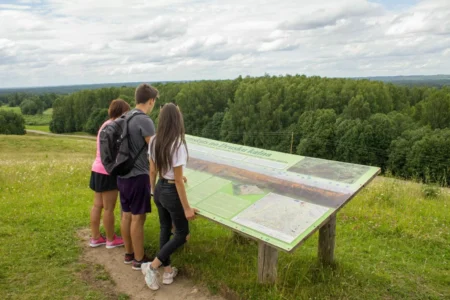
Along the way it is possible to stop at the Vorotka ancient burial site, where silent stone heaps tell their history, and to climb the Paganamaa observation tower, which offers a wide view of the Robežgravas, a chain of lakes and the rolling hills of Latvia.
The route will be enjoyable for everyone who has not forgotten what it means to “get properly moving”, and it can be perfectly complemented by:
– a swim in one of the clear lakes, Lake Ilgājs or Lake Smilšājs,
– geocaching.
Overnight stays are possible at the Nature House near Lake Palpiers or Lake Ilgājs.
If you do not know what a GPX file is, you can read about it here, how to open a GPX file.
Ticks are saved in this browser only.
routes.lv/en/route/palpiera-pelli-circular-route/
Printed from Routes LV
8.2 km · 2 h 30 min · Moderate · Hiking, Cycling · Vidzeme
routes.lv/en/route/palpiera-pelli-circular-route/
Printed from Routes LV
8.2 km · 2 h 30 min · Moderate · Hiking, Cycling · Vidzeme
Loading map…
Drag along the profile — the location appears on the map.
A review and photo can be added in the Routes LV app after completing the route.
Translated from Latvian ·
Difficulty: Moderate
 Difficulty: Moderate
 Difficulty: Moderate