 Difficulty: Moderate
- Vidzeme
- Duration: 3 h
- Ascent: 198 m
- Circular

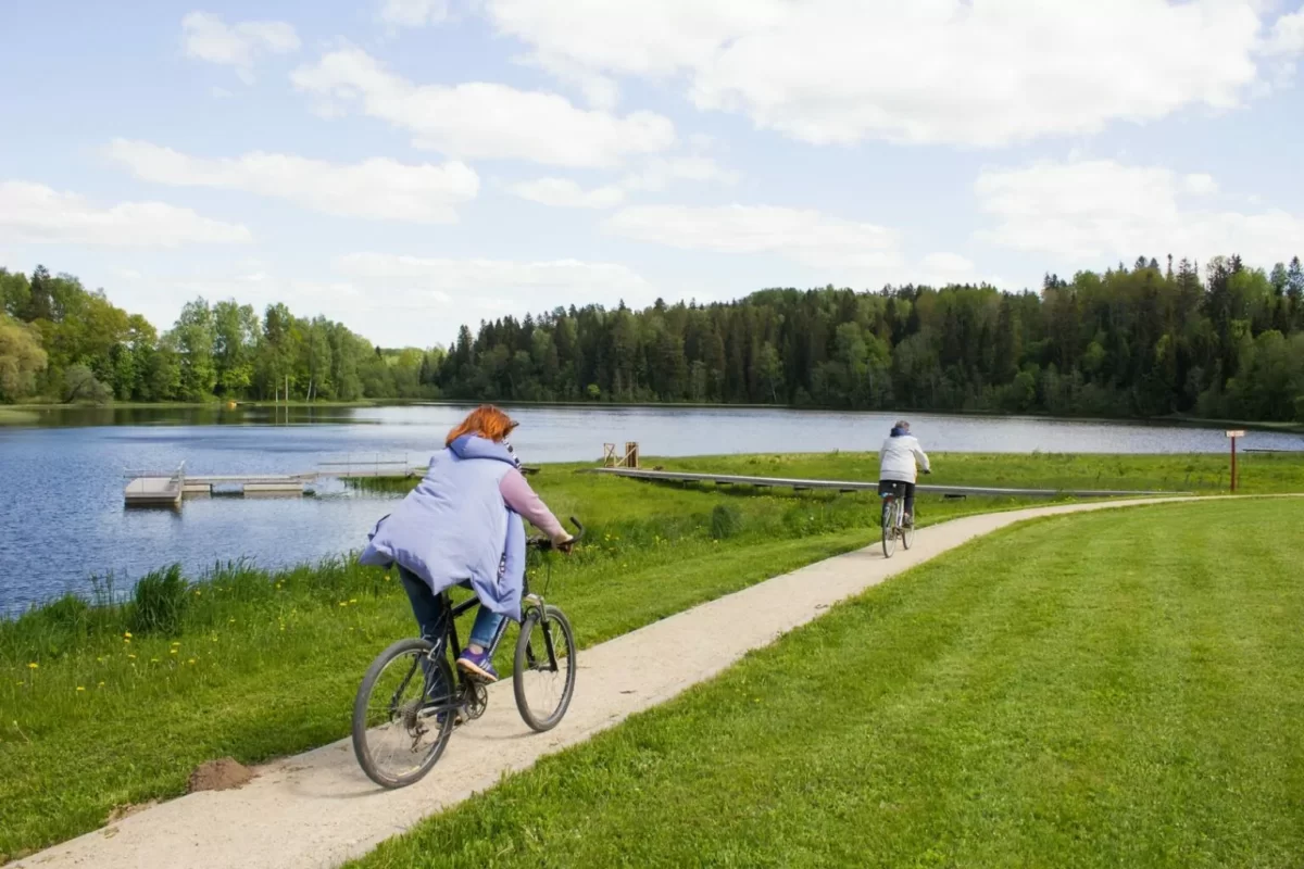
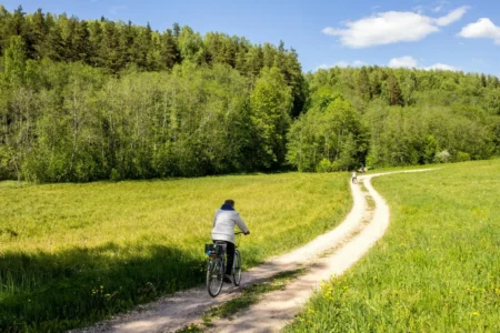
In the Veclaicene hills the relief is more hilly than anywhere else in Latvia. The route includes some of the finest viewpoints and landscapes of the Veclaicene Protected Landscape Area, as well as Dieva Hill, steeped in legends, with the Stone of Māra’s Footprint. To discover outstanding views and enjoy them fully, you must be prepared to climb more than one steep hill.
If you do not know what a GPX file is, you can read about it here, how to open a GPX file.
Loading map…
Drag along the profile — the location appears on the map.
A review and photo can be added in the Routes LV app after completing the route.
Translated from Latvian ·
Difficulty: Moderate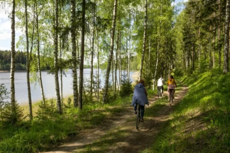 Difficulty: Moderate
 Difficulty: Moderate