 Difficulty: Moderate
River Loja loop, 13 km
13.4km- Vidzeme
- Duration: 3 h 30 min
- Ascent: 78 m
- Circular

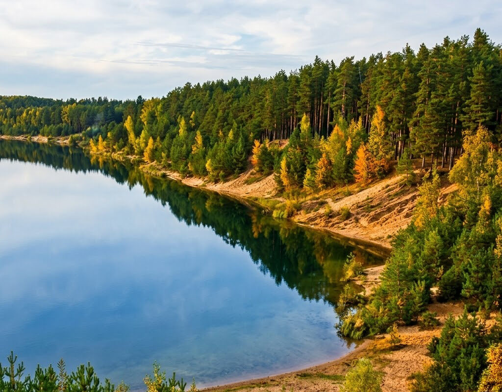
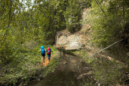
This route leads through the ‘Ogre Blue Hills’ Nature Park, allowing you to enjoy the ridges, or eskers, formed in the Ice Age and picturesque pine forests. During the hike the way winds through hilly terrain, which reveals impressive views of Dubkalni Reservoir with its clear water and steep banks. The route also includes a visit to a viewing tower, from the top of which, in clear weather, even the panorama of Rīga can be seen above the treetops. It is an excellent opportunity for active recreation, in which the peace of the forest alternates with a moderate physical challenge and unforgettable natural landscapes.
If you do not know what a GPX file is, you can read about it here, how to open a GPX file.
Loading map…
Drag along the profile — the location appears on the map.
A review and photo can be added in the Routes LV app after completing the route.
Translated from Latvian ·
Difficulty: Moderate Difficulty: Moderate
 Difficulty: Moderate