 Difficulty: Moderate
Around Dēļiņkalns
15.4km- Vidzeme
- Duration: 2 h
- Ascent: 175 m
- Circular

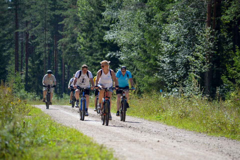
The route leads through the Lubāns Plain, which makes it possible to get to know and enjoy the expanses of the Lubāns Plain and to explore Lake Lubāns, and, when approaching the town of Lubāna, to appreciate the varied landscape and the surrounding forest massifs. The route connects the lake with the town of Lubāna; although it often seems that the town is right next to the lake, they are nevertheless separated by a distance of 18 km by road. Travel is along a road and its verge; the terrain is flat.
If you do not know what a GPX file is, you can read about it here, how to open a GPX file.
Loading map…
Drag along the profile — the location appears on the map.
A review and photo can be added in the Routes LV app after completing the route.
Translated from Latvian ·
Difficulty: Moderate Difficulty: Moderate
 Difficulty: Moderate