 Difficulty: Moderately difficult
- Vidzeme
- Duration: 3 h 30 min
- Ascent: 42 m
- Linear

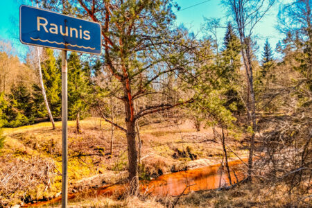
A circular hike that starts at the old Cēsis–Madona road bridge over the Raunis (next to the new P30) and continues for 8 km along the Raunis valley to Vaive Mill. After Vaive Mill, the return route follows a forest road for 3 km and then a further 3 km along the edge of the Cēsis–Madona road (P30) to the starting point.
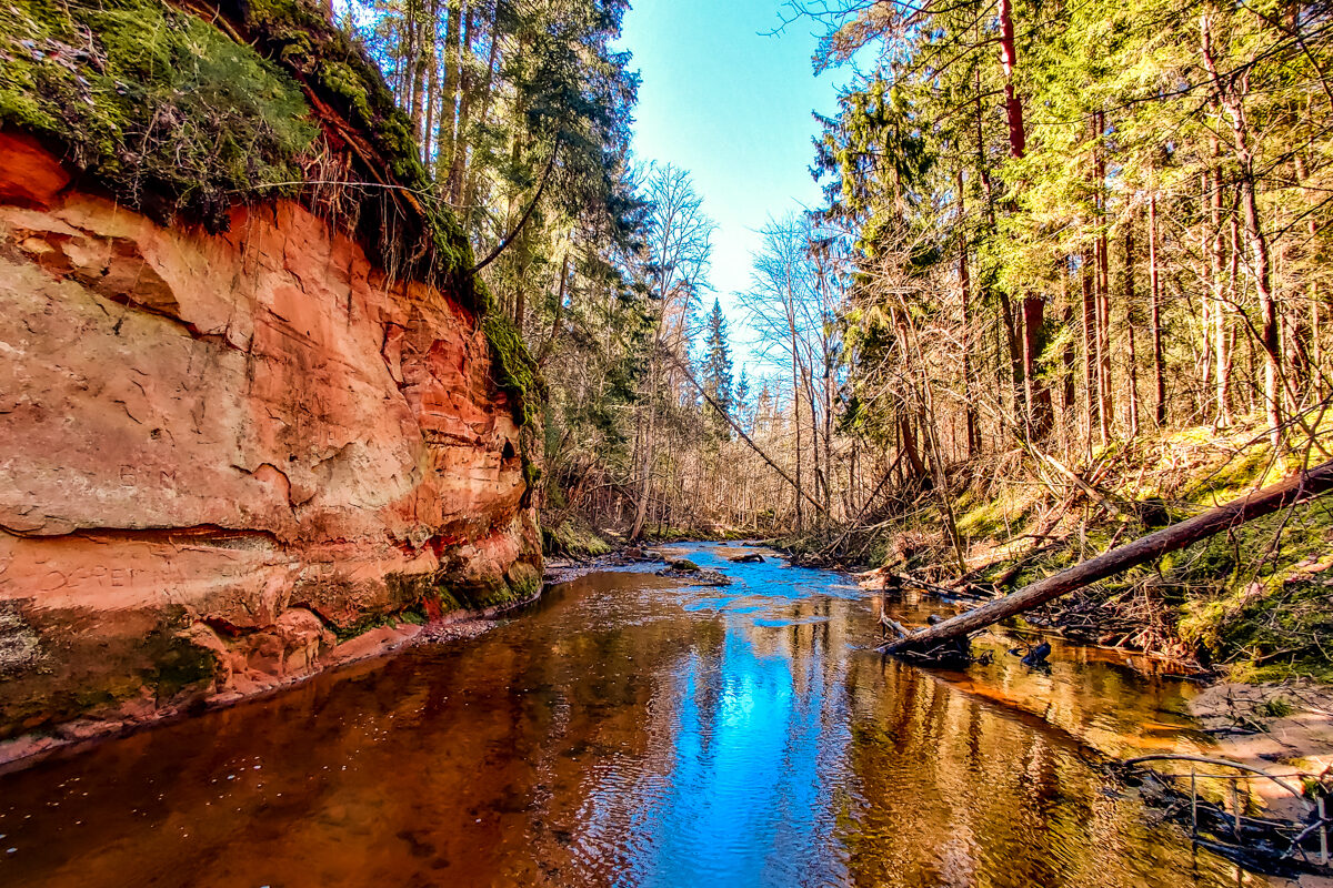
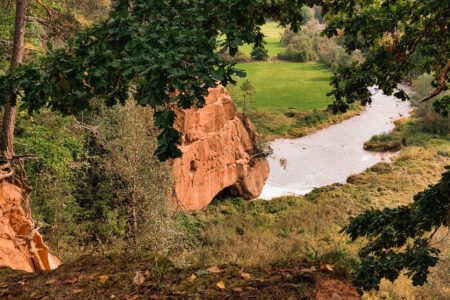
The Raunis is one of the fastest rivers in Latvia, with a fall of 7.7 metres per kilometre. Along its entire length the river is very shallow (depth from half a metre to one metre) and winding, with many rapids and accumulations of fallen trees. The riverbed is stony, and in the upper and lower reaches more sandy and pebbly. In the lower reaches the river valley (the Raunis valley) is up to 30 m deep. The banks are steep and contain many sandstone outcrops, but none of the outcrops has been given an official name. In 1997 the book “Latvia’s Nature” was published, in which some of the sandstone outcrops were given unofficial names: Striped Cliffs, Kunči Rock, Pārupe Rock, Danki Rock, Priežkalni Red Cliff, Skaņaiskalns Hill of the Raunis, Red Bank, Krāces Rock, Sesis, High Bluff. Two of the outcrops have names used only by nature researchers: Kalndanki Rock and Ķekaviņa Mill Rock. Devonian fossils have been discovered in some of them. Springs, landslides and small caves can also be found on the banks of the Raunis. There used to be a cave named Ķekaviņa Cave, but it has now collapsed. The river water is very clean and contains very little organic matter but a lot of iron. The Raunis valley is difficult for people to access.
If you do not know what a GPX file is, you can read about it here, how to open a GPX file.
Loading map…
Drag along the profile — the location appears on the map.
A review and photo can be added in the Routes LV app after completing the route.
Translated from Latvian ·
Difficulty: Moderately difficult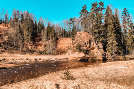 Difficulty: Moderately difficult
 Difficulty: Moderate