 Difficulty: Moderate
- Vidzeme
- Duration: 6 h
- Ascent: 183 m
- Circular

Truly primeval sensations can be discovered by walking along an untouched nature path. The Amata Geological Path is exactly this kind of adventure – a walk in an authentic environment. The path winds through the captivating and primeval Amata ancient valley. The path is waymarked, but most of it is not developed, and in places obstacles must be overcome – fallen trees and small tributaries of the river.
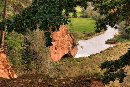
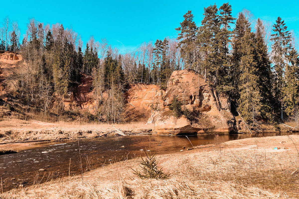
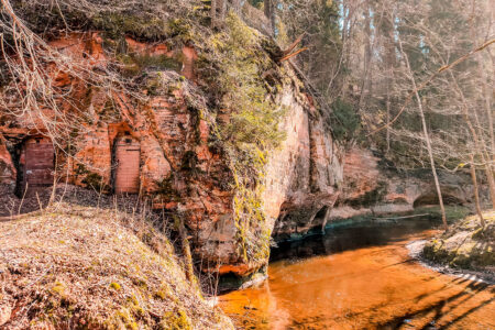
You will be able to see outcrops of sandstone and dolomite, which reveal pages of the Earth’s history 350–400 million years old, when the grains of sand carried by rivers flowing from north to south were deposited in the sea, compacted and cemented together. You will get to know and be able to observe almost all the trees and shrubs characteristic of Latvia, a diverse plant world, animal tracks, beaver dams and anthills, and listen to the nature concerts given by various birds.
The path offers something unique in every season. Sandstone outcrops are best seen in late autumn, winter and early spring, when they are not hidden by the green foliage of the trees.
In winter there is a one-off opportunity to see beautiful ice waterfalls – they form in places where small springs flow into the river. You can also study the tracks left by animals in the snow – they form interesting patterns and show which way their owner has gone.
In early spring you will be overtaken by canoeists who enjoy extreme sensations and make use of the swift waters of the River Amata. In spring this is also an excellent place for watching the fascinating life of birds. In summer, of course, all the landscapes bloom vividly and uniquely in bright green tones, and there is a great diversity of plants to study and admire!
In autumn the path is strikingly picturesque – in bright red and golden tones – and it is possible to watch the interesting spawning of fish.
The Amata Geological Path never stops teeming with life throughout the year and leads on an unforgettable journey through the mysterious world of nature, whose surprises awaken sensations not yet experienced!
The path consists of three sections, each of which differs in difficulty and scenery. There are many rocks along the path, but they differ from one another in their sand patterns, legends and surroundings.
The easiest section is from Veclauči Bridge to Zvārte Rock (3 km). The river banks here are adorned by reddish Devonian sandstone outcrops, and this section features a whole gallery of rocks: the wild Vanagi Rock, the captivating Lustūzis, the picturesque Migla Rock and others. This section ends in a small meadow with a developed rest area, and nearby it is possible to see the unique Zvārte Rock.
The longest section, with three steep climbs, is from Kārļi Bridge to Zvārte Rock (12 km). The route begins with the way to a magnificent view from Ainavu Cliff at a height of more than 40 metres. Further along this route you will see several rocks: Ķaubji, Stūķi, Dzilna, and at the very end of the path – Zvārte Rock, steeped in tales and legends.
The most difficult section is from Melturi to Kārļi Fish Hatchery (3 km), which is suitable if you are an experienced hiker. This route also has several rocks: Melturi Rock, Īļaki Rock, Vizuļi Rock, Dolomite Cliff, Dam Rock, Staburags Bank and the owner of a beautiful name – Rainbow Rock.
If you are keen on geocaching, there are many treasures to find along the path – there are very many caches along the entire path (find out more on the Geocaching website)!
Walking this path through untouched nature, a unique experience will turn into valuable and authentic travel impressions, information and memories.
If you do not know what a GPX file is, you can read about it here, how to open a GPX file.
Loading map…
Drag along the profile — the location appears on the map.
A review and photo can be added in the Routes LV app after completing the route.
Translated from Latvian ·
Difficulty: Moderate Difficulty: Moderate
 Difficulty: Moderate