 Difficulty: Moderate
Drīdzis – Lake Jazinks
26.3km- Latgale
- Duration: 2 d
- Ascent: 50 m
- Linear

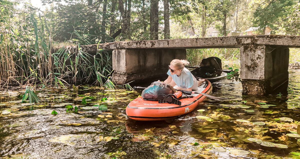
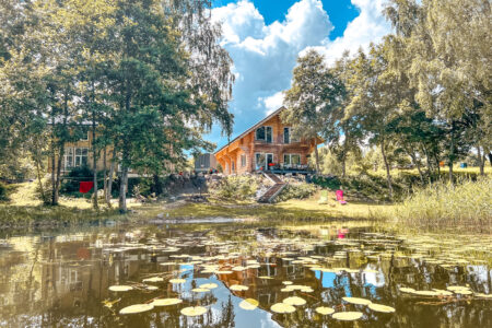
This is one of the most unique water routes both in Latvia and on the Baltic scale, as it includes 5 lakes of Latgale that are connected to one another by small streams and channels.
If you do not know what a GPX file is, you can read about it here, how to open a GPX file.
Loading map…
Drag along the profile — the location appears on the map.
A review and photo can be added in the Routes LV app after completing the route.
Translated from Latvian ·
Difficulty: Moderate Difficulty: Moderate
 Difficulty: Moderate