 Difficulty: Moderate
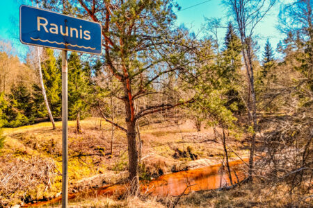
Raunis 16 km (circular)
15.6km- Vidzeme
- Duration: 4 h
- Ascent: 91 m
- Circular

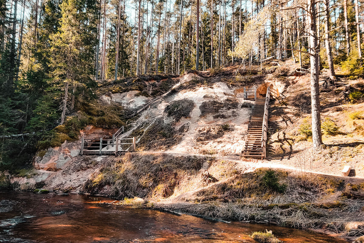
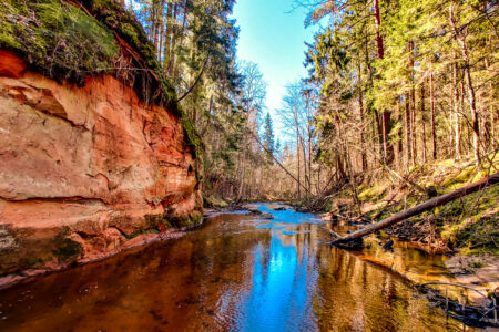
The route leads along the quiet valley of the Strīķupe River, allowing walkers to pass through ancient pine forests, along winding riverbanks and occasionally washed-out paths, where nature follows its own pace. The way follows a forest track, in places lines of dirt roads, with views of cliffs and caves that tell of the depths of life of this landscape.
The route has been created mainly as a pedestrian path; it offers an opportunity to settle unhurriedly into the calm of nature, listening to the babbling of the river and the quiet breath of the forest. If choosing to cycle, please note that the surface is in places broken up, so cycling may be more challenging.
If you do not know what a GPX file is, you can read about it here, how to open a GPX file.
Ticks are saved in this browser only.
routes.lv/en/route/along-the-strikupe-river/
Printed from Routes LV
14.9 km · 5 h · Moderately difficult · Hiking · Vidzeme
Loading map…
Drag along the profile — the location appears on the map.
A review and photo can be added in the Routes LV app after completing the route.
Translated from Latvian ·
Difficulty: Moderate
 Difficulty: Moderately difficult
 Difficulty: Moderate