 Difficulty: Moderate
- Kurzeme
- Duration: 4 h
- Ascent: 22 m
- Circular

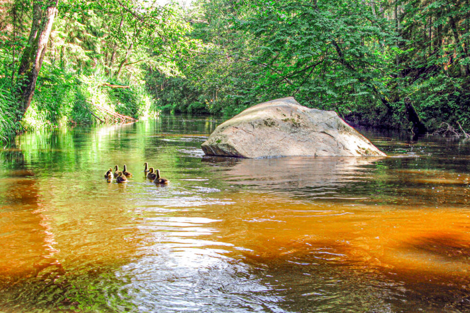
The steep banks of the River Roja are surrounded by primeval forest where no forestry activity has taken place for a hundred years. These are biologically old forests, rich in plants and animals, of a kind rarely found in Latvia. The river banks are inhabited by beavers, otters, roe deer, wild boar, red deer, elk, grey herons, goosanders, goldeneyes and various species of woodpeckers. The river is home to fish such as perch, lampreys, trout, pike and roach.
The “Open-air path along the River Roja” offers 3 distances of different lengths along the River Roja and the forests adjoining it – the yellow loop of 2 km, the blue loop of 7 km and the red loop route of 15 km. Choose the suitable one and set off – from spring to autumn on foot, by bicycle and by boat, and in winter on skis. When cycling, please note that on some sections the route may be difficult to ride because of loose sand.
Several rest areas have been set up along the river, with benches, tables, toilets, swings, exercise equipment, waste bins, as well as campfire and tent sites. Boat landing stages have also been built at the rest areas in Žocene and Roja. At the beginning of the path, on the river bank, there is a developed spot where the Roja Spring flows into the river. It is popular with local residents, who gladly drink the spring water.
If you do not know what a GPX file is, you can read about it here, how to open a GPX file.
Loading map…
Drag along the profile — the location appears on the map.
A review and photo can be added in the Routes LV app after completing the route.
Translated from Latvian ·
Difficulty: ModerateDifficulty: Moderate Difficulty: Easy